Water/Wastewater
Transportation
Civil/Site Development
Construction Material Testing
Land Surveying
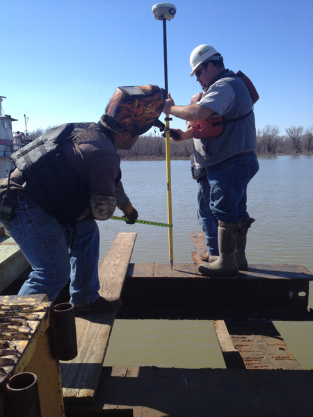
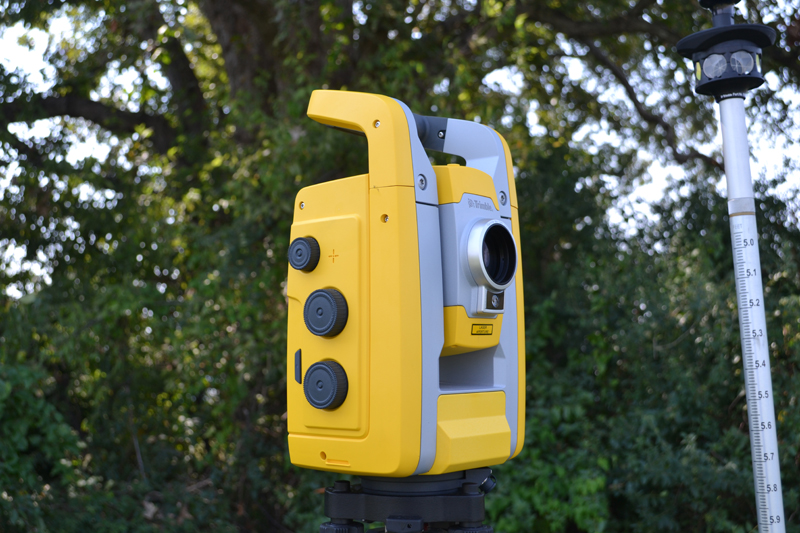
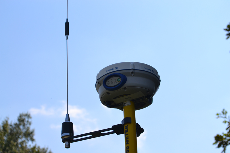
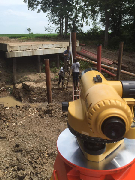
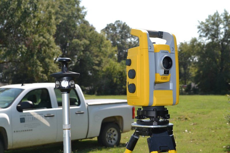
LAND SURVEYING
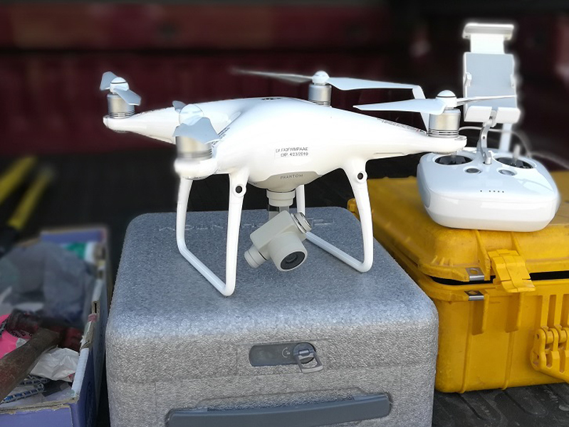
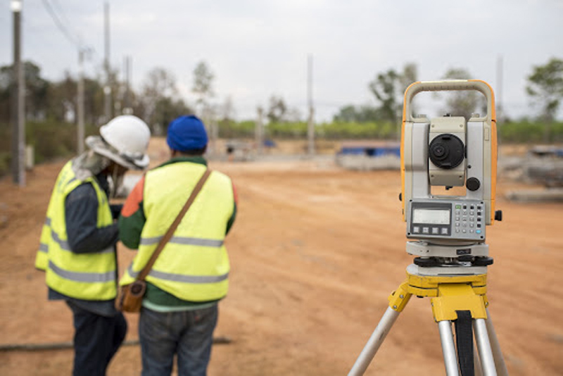
Land surveyors provide a wide range of services from establishing property lines to providing topographic surveys. We recognize that accurate and cost-effective survey data is critical to the success of any project. Eley|McPherson Engineering utilizes the newest and most advanced global positioning system (GPS) technology, aerial drone data collection, traditional ground based and hydrographic surveying equipment available to collect data and complete surveys in the most timely and expedient manner possible. Our surveyors and technicians also receive the latest in training and maintain the highest degree of technical expertise to complete each survey task with the highest degree of accuracy and efficiency.
- Boundary Surveys
- Topographic surveys
- Hydrographic surveys
- Subdivision Plats
- Flood Plain Certificates
- Construction Staking
- Drone Surveying